Log In
/-81.473450660706,30.570612064318,12/500x250?access_token=pk.eyJ1Ijoid2F0ZXJ3YXlndWlkZSIsImEiOiJGRmM1RDdzIn0.Wya5yV5QEqbz0-fct8zyIA)
FL: S. Amelia River by G37, MM 725
- Date Reported: Jun 17, 2025
- Reporter: Bob423
- Source: User
- Description:
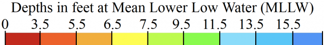
Update: 7.0 MLLW as of 6/9/2025 on the Bob 423 track.
The channel is narrow and you can easily stray into 5 MLLW depths. The Bob423 track is shown as a blue dotted line on the 7/14/2021 survey in Aqua Map. Don't be fooled by the deepwater path; there are shallows off the track on both sides of the dredged channel. The easiest guidance is to follow the B423 track. The shallow spot of 6.7 MLLW is between G37 and R34, deeper elsewhere.
Going South:
- Split R32 and docks
- Pass G33 150 ft off
- Aim at G37 until 1/2 way, then turn to split R36/G37, you should have 9.0 MLLW. If you turn too soon, you will find 5 MLW.
- Round G37 100 ft off and aim for R38 and pass 200 ft off
- Most charts shown a tongue of deepwater starting by R38, follow it.
- When the tongue ends, aim at G41, when close, split G41/R42Going North:
- Split G41/R42, then aim for a tongue of deep water as shown on chartplotter, follow it
- By R38 but 200 ft off, gradually turn and aim to split R36/G37
- Gradually turn to run along the green edge of the channel towards G33, it is shoal on the red side.
- Pass G33 by 150 ft off and aim to split R32 and docks.
USACE = US Army Corps of Engineers
ATONs = Aids TO Navigation such as buoys and daymarks
Aqua Map = a navigation app for Apple and Android devices
Bob423 Long Track = blue dotted line
How to download tracks - Lat / Lon: N 30° 34.237' / W 081° 28.407'
DISCLAIMER: Waterway Guide Media provides Navigation Alerts as a resource for planning purposes only and does not warrant the information included in the postings as accurate. Advice and descriptions contained in the alerts are not for navigation.